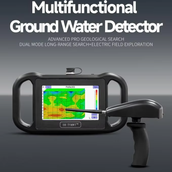
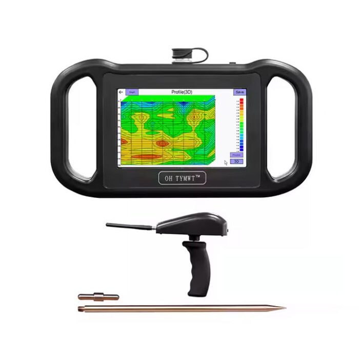
Long;range search instrument uses the geomagnetic field as the working field source and is based on the induced magnetic field generated by diferentmedla on the earth’s surace. it uses microcomputer processor control and reection conductivity for unit calbration, thereby achievine rapid scanning anddetection of water sources. Electritc field exploration uses natural electric fields as the working field source. it is an electrical exploration method that solves geological problems bymeasuring multiple electric field components ofnaturalelectric fields of iferent frequencies on the ground and analvzing abnormal changes caused by diferengeological structures based on the conductivity diferences of undereround rock mines or groundwater, The data colected by the instrument is pased Theinstrument’s uniaue bult.in calculation function enables automatic presentation of cuies and profles, Based on the profle, you can clearly understand thegeological laver structure and quickly determine specific information such as ore bodies (ore lavers, caves (cavities, water levels laquifersl. etc
Long;range search instrument uses the geomagnetic field as the working field source and is based on the induced magnetic field generated by diferentmedla on the earth’s surace. it uses microcomputer processor control and reection conductivity for unit calbration, thereby achievine rapid scanning anddetection of water sources. Electritc field exploration uses natural electric fields as the working field source. it is an electrical exploration method that solves geological problems bymeasuring multiple electric field components ofnaturalelectric fields of iferent frequencies on the ground and analvzing abnormal changes caused by diferengeological structures based on the conductivity diferences of undereround rock mines or groundwater, The data colected by the instrument is pased Theinstrument’s uniaue bult.in calculation function enables automatic presentation of cuies and profles, Based on the profle, you can clearly understand thegeological laver structure and quickly determine specific information such as ore bodies (ore lavers, caves (cavities, water levels laquifersl. etc