Geological data
Hydrogeological conditions: The main type of aquifer in the survey area is the water in the fractures between sand and shale layers. It is a water-rich area with abundant precipitation. The burial depth of the aquifer ranges from 50 to 150 meters, and the single well discharge volume can reach 100 cubic meters per day.
Measurement method
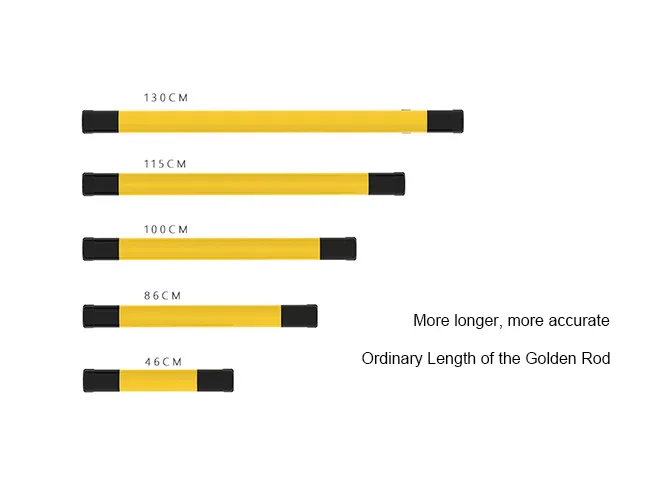
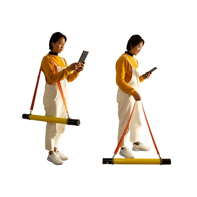
ADMT-300HT2 Golden Rod Water Locator Introduction
We use the ADMT-300HT2 Golden Rod Water Locator in TT mode, with a 1m point spacing, 200m measurement depth, 10 measuring points in total, and set parameter 0 for plotting.
New Water Locator Golden Rod
Adu’s new water-finding golden rod inherits the fully wireless and easy-to-operate advantages of the previous generation. It also addresses the product’s shortcomings to boost measurement accuracy. The new model adds multiple functions, including segmented measurement, depth stratification, data processing, 2D/3D/sectional diagrams, AI analysis, and offline measurement. These upgrades enhance both accuracy and user experience, delivering reliable results for well-drilling water exploration and boosting economic benefits.
Click the link to learn more about the new water-finding golden rod.
Image analysis
Resistivity Profile and Drilling Results
The measured resistivity profile is shown below. Specifically, the horizontal axis denotes point positions, and the vertical axis denotes depth. The contour map shows a red high-resistance layer between 10 and 70 meters, which we presume to be a shallow loose soil cover. This layer may contain a small aquifer, but it is primarily composed of weakly permeable materials. Notably, the first distinct layered blue-purple low-resistance zone starts at 70 meters, with an approximate thickness of 40 meters. Through analysis of the survey area’s hydrogeological data, we identify this low-resistance zone as either a sandstone pore water aquifer or a fracture water layer between sandstone and shale; it may also have hydraulic connections with surface water. In addition, a second low-resistance zone appears between 130 and 160 meters, likely a confined water layer about 30 meters thick. The resistivity of the surrounding rock in these low-resistance zones changes significantly. Therefore, if shallow drilling yields insufficient water, we recommend continuing drilling downward to penetrate the 160-meter-deep confined water layer.
Drilling Results
Subsequently, the client selected point 8 for drilling. During drilling, the first water flow emerged at 61 meters. The rock layer between 90 and 110 meters was very soft, eliminating the need for pressure during this drilling phase. Finally, the well reached a total depth of 155 meters, with a water output of approximately 2 cubic meters per hour.